|
During 1874 Henry Hardy was a gardener
and seedsman who lived in London, but neither the Hardy name nor
any comparable business is listed in Kelly's Directory for 1912.
A transcription of births, deaths
and marriages available online records Abraham Hardy as a 'farmer,
seedsman and church clerk' born at Nayland in 1799, marrying a
Sarah Pilgrim (of a prolific Bures family of builders) in 1817
and dying at Billericay in Essex in 1873.
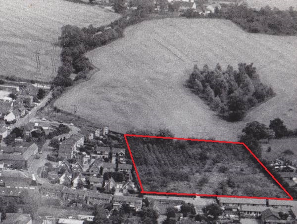
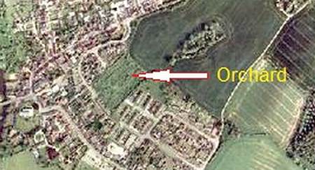
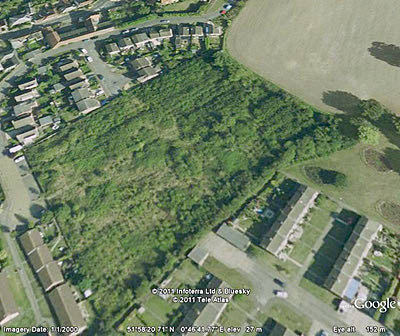
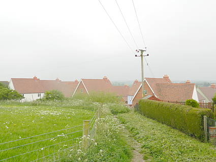
The most recent owner of the orchard was Mr Dennis Eaves whose
father is understood to have bought it in or about 1937.
Mr Eaves originally lived at Lorne
House (1 Nayland Road) but the rest of the terrace was bought
by the Hitchcock family of Bures mill.
He operated the orchard as a fruiterer
and smallholder, supplying produce to local shops and keeping
chickens in the now demolished sheds behind no. 7 Nayland Road.
He also sold directly to the public from a shop in the central
shed , but opened on only one afternoon each week in the years
leading up to his death in the 1990s.
The early-19th century a shed with
the sunken floor was used to store apples, along with the upper
storey of the central shed, and older residents of Bures recall
at least one horse stalled in the shed with the mono-pitch roof
during the 1940s and 1950s.
Mr Eaves sold part of the orchard
to Babergh District Council in the 1980s and the resulting estate
of bungalows bears his name (albeit mis-spelled- Eaves Orchard).
The business terminated with his death and the trees were subsequently
cleared by his son-in-law, the present owner Mr Alan Cockrell
of Colchester. Nos. 2-7 Nayland Road were sold individually in
the 1970s.
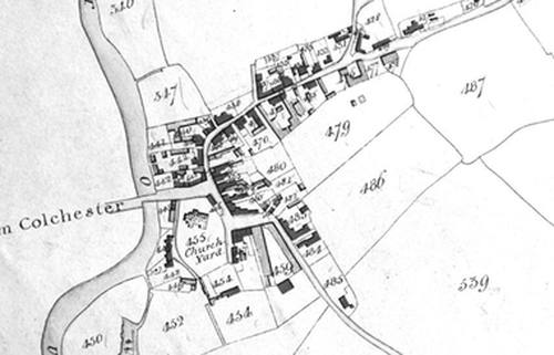
Their link with the site of the
orchard to the rear is documented as early as 1577 when Barnaby
Claydon, a wealthier clothier and church warden who lived in Bures
High Street, owned a larger block of land in the same area stretching
from the Nayland Road on the west to what is now Fysh House Farm
at the top Cuckoo Hill to the east .
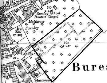
This land included two 'ruinous'
houses on the Nayland Road, one of which was known as Pike House
and was associated with ground called Pikes Acre and a marsh called
Pikes Marsh. The other is not named but lay to the north of Pikes
House and also possessed a significant but unspecified amount
of land to the rear (it is said to have belonged previously to
John Arundell and afterwards to Thomas Mollens).
Courtesy of Leigh Alston, Bures History Soc
|